New toolkit published for coastal change monitoring using satellite observations
Freya Muir has published a paper in Earth Surface Processes and Landforms as well as an open-source tool for mapping coastal change, known as VedgeSat.
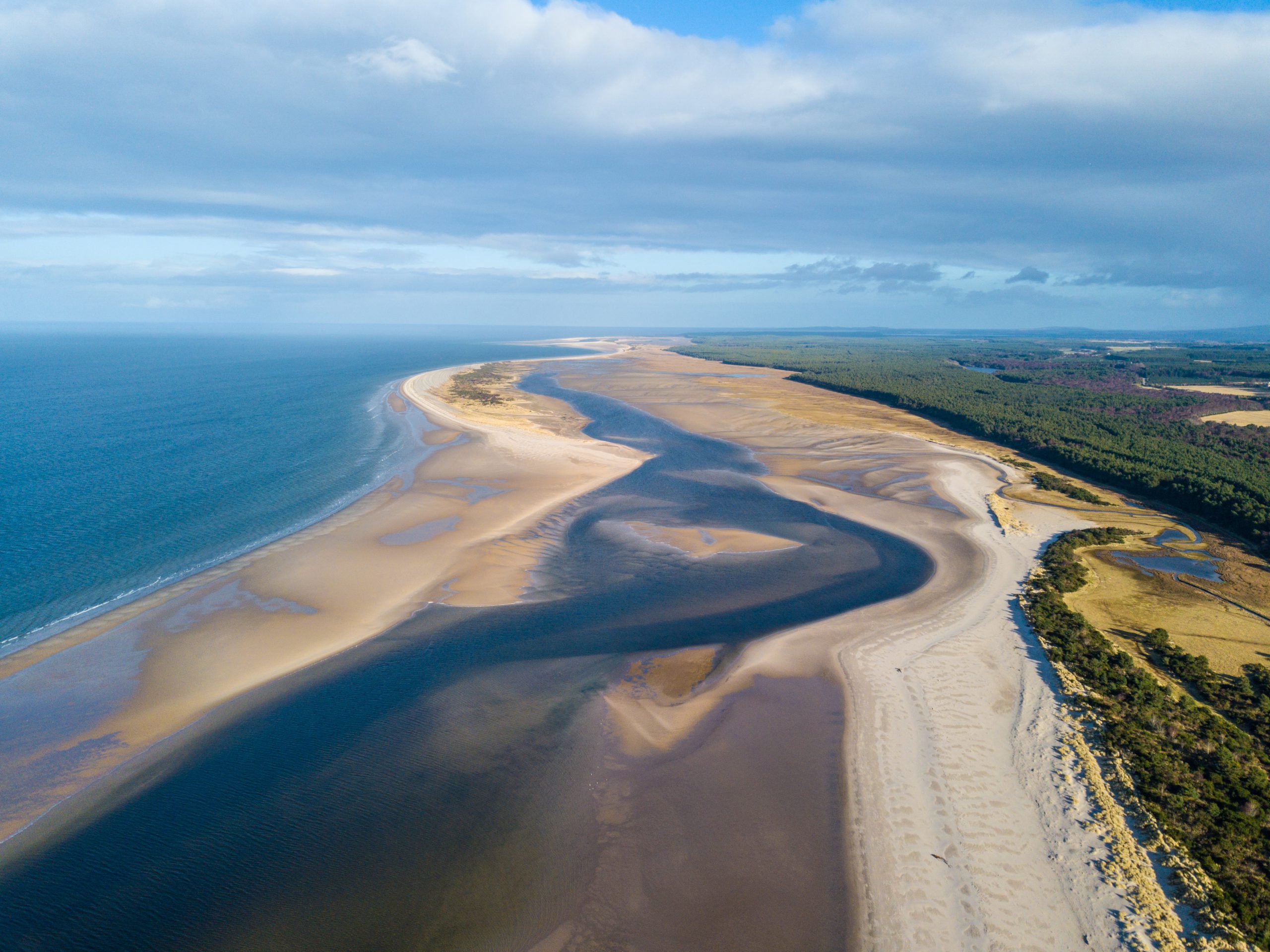
We’re supporting Freya’s research which aims to develop an operational framework for predicting coastal change, using machine learning techniques that are trained with satellite observations.
Read the journal paper, access the toolkit and find out more about Freya’s research.
Photo image credit: kbrembo (Unsplash)