GIS

New maps show areas of potential for working with natural processes

New maps show areas of potential for working with natural processes

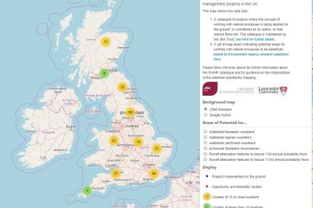
New data added to our online catalogue shows areas where different types of potential river and catchment management approaches could help to reduce flood risk by working with nature

Read More

Read More →

Working with natural processes to reduce flood risk

Working with natural processes to reduce flood risk

New interactive map catalogues UK schemes that use natural processes in flood management and highlights the need to evaluate the effectiveness of these projects.

Read More

Read More →

GIS in schools

GIS in schools

Mike Williamson shares his GIS expertise with students and teachers…

Read More

Read More →

Top