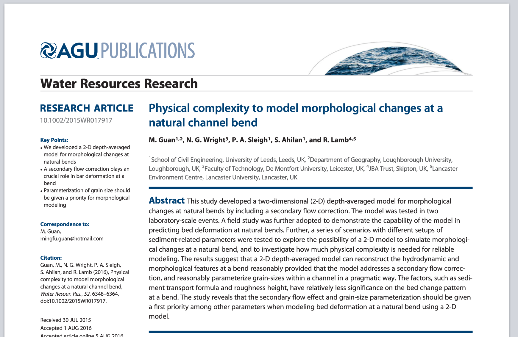
Physical complexity to model morphological changes at a natural channel bend
Two-dimensional (2D) depth-averaged models are widely used in practice to simulate the propagation, depths, velocities and extent of flooding. Models based on the shallow water equations, have been shown to be suitable for these applications in many circumstances. Many 2D flood models are available from different suppliers, both as commercial and research-oriented software, and also in forms that have been optimised to work on fast computing hardware, like GPUs, enabling whole floodplains to be modelled more quickly and cost-effectively.
We are interested in how such models could help in understanding, and even predicting, the more complex processes that link water flow with the erosion, movement and deposition of sediments. These hydromorphological processes add further complexity to models, and also demand more data to characterise river channel bathymetry and sediment characteristics. Furthermore, the simplifications made in adopting a 2D, depth-averaged model for the flow of water are challenged when considering the interactions between water, sediment and landforms.
To help explore these issues, we supported a Leeds University researcher, Dr Mingfu Guan, in testing a 2D hydromorphology code in a real case study on the River Greta in Keswick, north west England (a location where we have also been supporting work to test the benefits of augmented reality technology for communicating about flood risk).
The case study was published in Water Resources Research in 2016. It showed that a 2D, depth-averaged model can reconstruct hydrodynamic and morphological features at a channel bend of the scale examined, with the inclusion of a secondary flow correction (which approximates some of the effects of 3D flow effects). It was found that representation of the grain sizes within the channel was also important. Overall, the authors found that the annual bar formations at the field site could be usefully predicted by the 2D model.


